Rain to back off Thursday; cloud cover lingers
MACON, Georgia (41NBC/WMGT) –
The Rest of the Day


Off and on showers will remain possible through the evening and into tonight, however it will largely taper off ahead of Thursday morning. Overcast skies will also linger into tonight as well. Temperatures will remain mild with lows tonight in the low to mid 50s, or about 5-10 degrees cooler than today’s highs. Winds will continue to be rather breezy from the northeast at around 10-15 mph. Gusts could reach up to 25 mph.
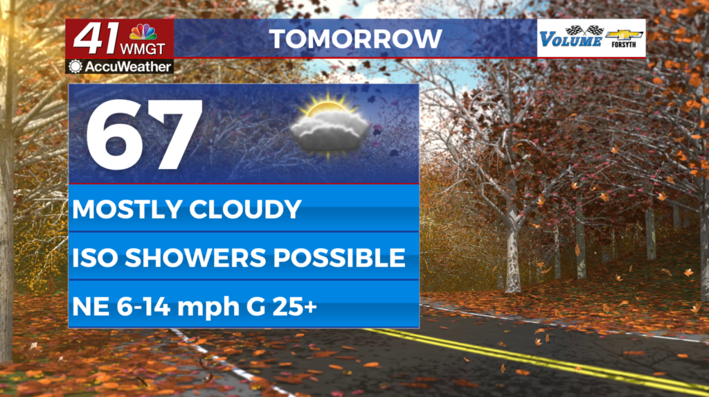
Tomorrow


Mostly cloudy skies are likely throughout the day with the sun trying to come out more in the late afternoon. Highs will jump back into the mid 60s for most of Middle Georgia with the ambient wind continuing to feed from the northeast at 10-15 mph. Gusts could reach as high as 30 mph. A few spotty showers will be possible, however most of Middle Georgia will remain dry.


Tomorrow night a bit more clearing is expected overhead, however low temperatures are only expected to drop into the mid 50s as conditions remain muggy ahead of a cold front later Friday. Winds will come from the northeast at around 5-10 mph gusting upwards of 15. A spotty shower or two cannot be ruled out, however rain is unlikely overnight.
Friday and The Weekend


A cold front pushing through Friday will shift the winds from the northeast to the northwest once it passes. That will not happen until late in the day as highs are expected to reach into the low to mid 70s around Middle Georgia. A couple of showers and maybe a thunderstorm will be possible, however the front is rather weak and is not expected to elevate rain chances much. Sunnier conditions will return Saturday and Sunday with storm odds ramping up again Monday afternoon.

Follow Meteorologist Aaron Lowery on Facebook (Aaron Lowery 41NBC) and Twitter (@ALowWX) for weather updates throughout the day. Also, you can watch his forecasts Monday through Friday on 41NBC News at 4, 5, 5:30, 6, and 11 PM.