Cloud cover begins to return on Tuesday
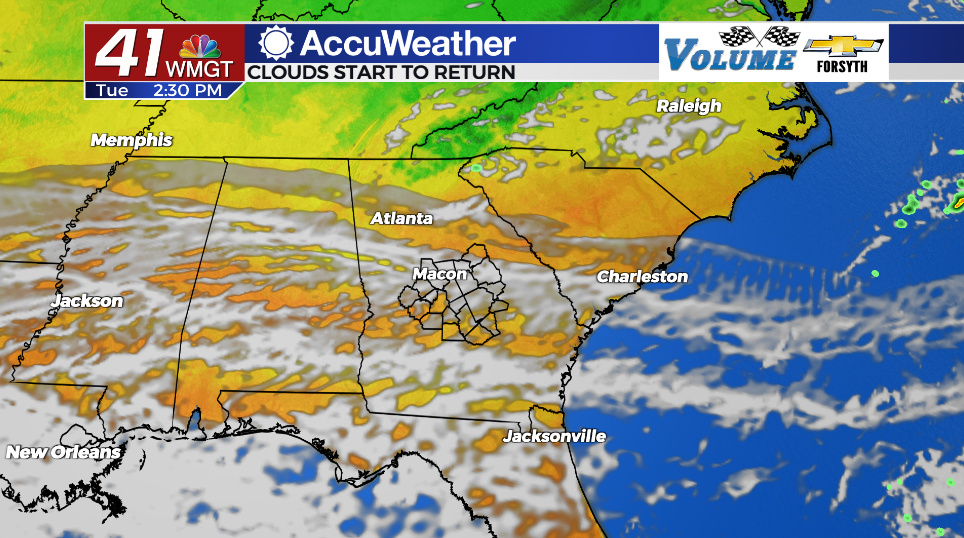
MACON, Georgia (41NBC/WMGT) – A developing system in the gulf will begin a trek east-northeast and cloud cover associated with it will begin to move in tomorrow.
Overnight


Skies will be mostly clear tonight with low temperatures largely in the upper 40s. Winds will blow from the southwest at around 5 mph. Expect a few cirrus clouds out the door Tuesday morning, especially in the southern counties.
Tomorrow


Cirrus clouds will filter in across Middle Georgia throughout the day, thickening over the later hours of the afternoon. Temperatures will reach their peaks for the week as they rise into the lower 80s for most of the region. It will also be a bit breezy from the southwest with sustained winds of 10-15 mph and gusts as high as 20-25 mph throughout the afternoon.


Tomorrow night cloud cover will further thicken, leading to warmer temperatures ahead of Wednesday morning. Winds will also calm and shift to the north overnight and into Wednesday as well.
Wednesday and Beyond


It will be a wet end to the week thanks to the incoming gulf system. While severe weather/tropical storm impacts will be extremely unlikely, flash flooding could end up being a concern. Rain will likely begin Wednesday night and continue into much of Thursday before slowing. A second, smaller round looks possible on Friday as well. More sun should return over the weekend.

Follow Meteorologist Aaron Lowery on Facebook (Aaron Lowery 41NBC) and Twitter (@ALowWX) for weather updates throughout the day. Also, you can watch his forecasts Monday through Friday on 41NBC News at Daybreak (5-7 a.m.) and 41Today (11 a.m).